
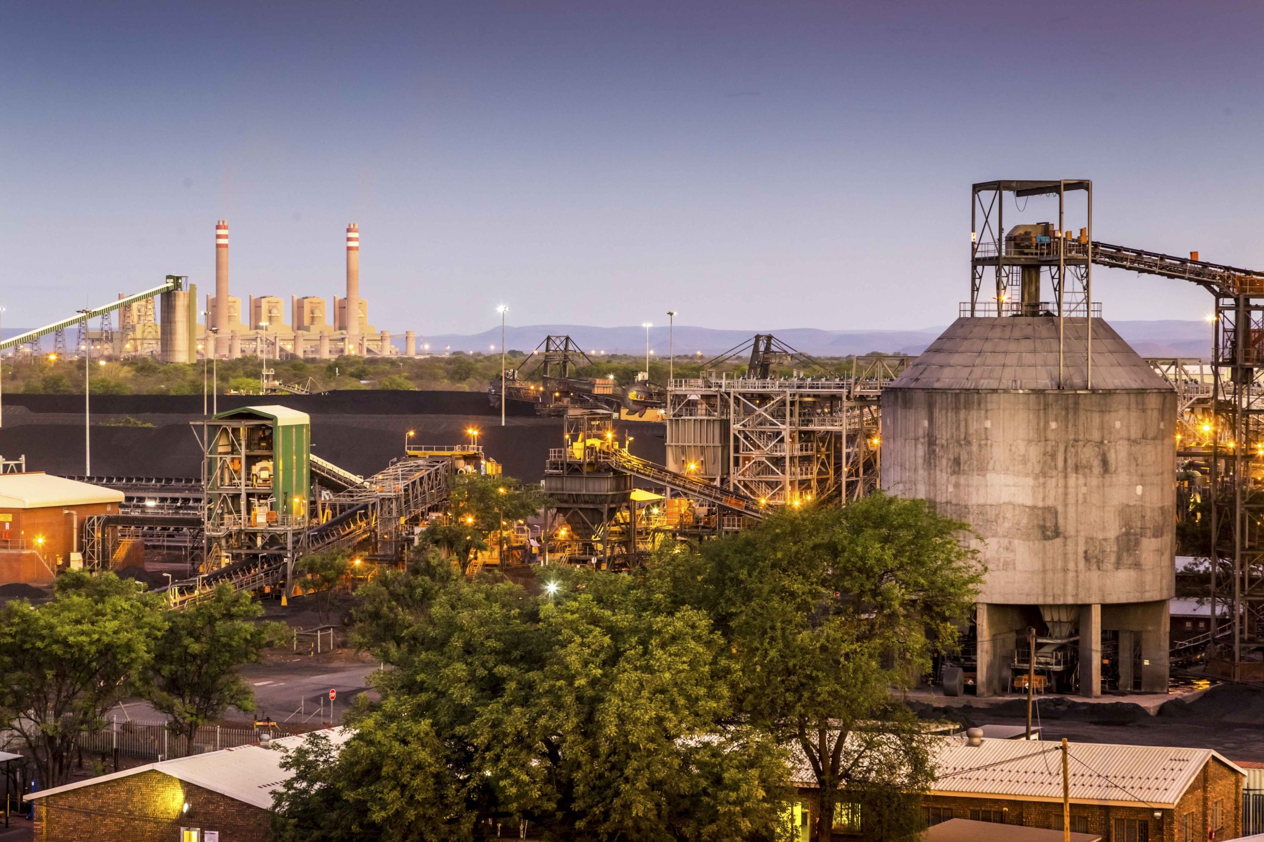
Trump orders Pentagon to buy coal power in boost to industry
Under Trump’s directive, the Pentagon’s energy installation office would pursue long-term agreements for that coal power.
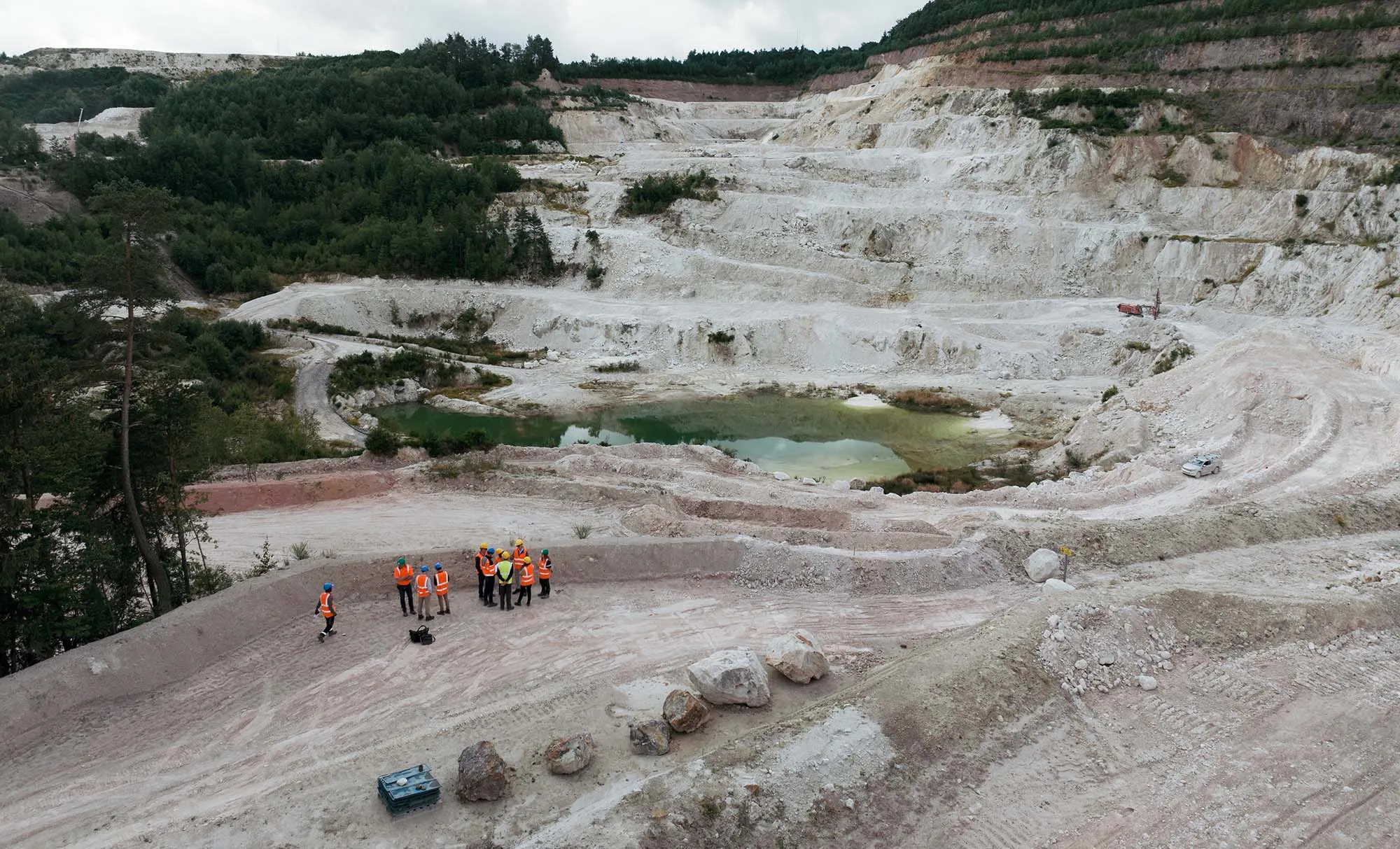
A new tool that uses satellite radar imagery to capture millimetre-scale measurements of changes in terrain height may help authorities manage public safety and environmental issues in recently abandoned coal mines. The tool has been developed by researchers at the...
You've reached your limit of free weekly articles
Keep reading MINING.COM with a TNM NEWS+MARKETS Membership.
TNM Memberships is your key to unlocking access to the best news, insights, and data in the mining industry.
Get Started with a free 45-day Trial ** Credit card required to begin free trial. Your card will be charged 45 days from signup. You will receive an email notification seven (7) days before the free trial period ends.
Already a Member?
Sign inSubscribe for Unlimited Access
Enjoy unlimited News Stories and Specialty Digests, along with Mining and Metal Market insights as part of your NEWS+MARKETS Membership. Or go even deeper with our Global Mining Data platform, TNM Marco Polo, included with your NEWS+DATA Membership.
Explore Full Membership Benefits


The new Mining Power Rankings are live. Vote for the sector’s leaders in each of the Large-, Small-, and Micro-Cap leagues.