Sherritt drops plan to dissolve Cuban assets
The announcement comes just days after Sherritt said it would be dissolving the 50/50 Moa joint venture.

KEY HIGHLIGHTS
High-Definition Magnetic, LiDAR and photogrammetry survey underway spanning the entire Ecru Gold Project, adjacent to the Robertson Gold Project
Survey will focus on two distinct gold styles: intrusion-related and Carlin-style gold mineralisation
Local geological consultants will combine their detailed review and interpretation of the project's existing data with this new geophysical data to identify strategic future drill targets.
"With our geological review of existing data nearly complete and this high-definition survey now underway, we are assembling the most comprehensive picture of Ecru's subsurface ever compiled, and it will sharpen our understanding of the Robertson and Carlin-style gold targets across the project."
"This systematic, data-driven exploration in one of the world's great gold districts is building the knowledge base that will guide every decision towards discovery."
- Johan Lambrechts (CEO)
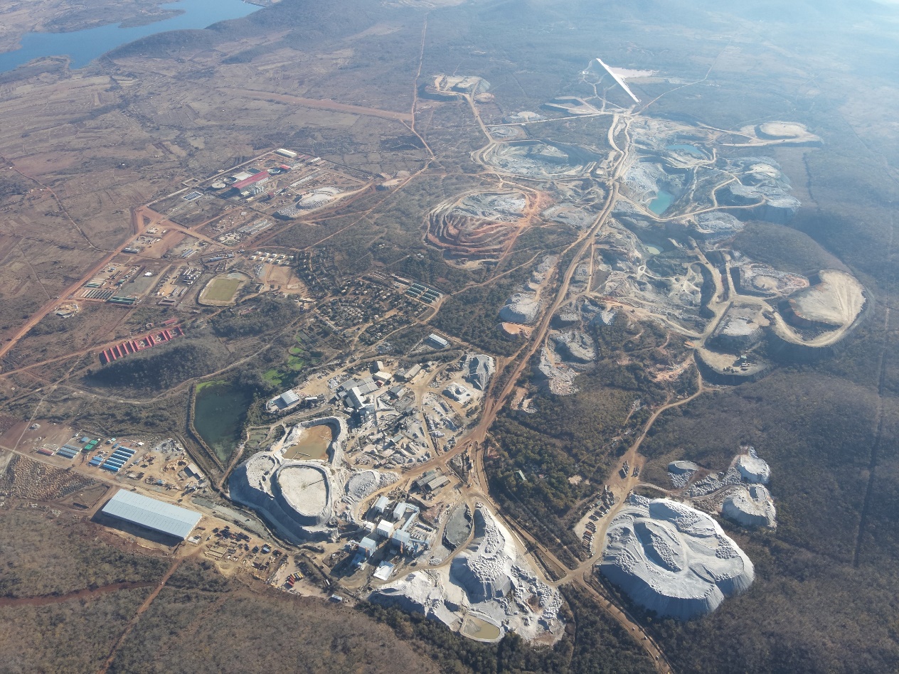
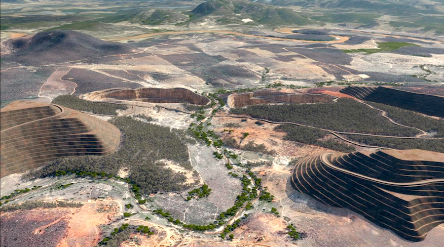
Vancouver, British Columbia--(Newsfile Corp. - May 19, 2026) - Aurbis Resources Corp. (CSE: AURR) (Aurbis, AURR or the Company) has commenced a high-definition drone magnetic, LiDAR and photogrammetry survey at its Ecru Gold Project, situated in Nevada's Cortez Gold Camp, directly adjacent to Nevada Gold Mines' Robertson Deposit.
Flying 325 line-kilometres at 50-metre line spacing and just 30 metres above the ground, the survey will deliver the most comprehensive and highest-resolution magnetic dataset ever compiled over the Ecru project area, providing Aurbis with a precision subsurface magnetic map to guide exploration across both its Robertson-style and Carlin-style gold targets.
Each target style has its own geophysical signature, and the data will be processed, inverted and interpreted by geophysical consultants before guiding future exploration activities on the project. The LiDAR and photogrammetry data will provide a detailed view of the historical workings and, potentially, the structures they followed.
This high-definition magnetic survey will be the first step of a series of geophysical activities, including gravity and potentially IP surveys, that will inform the Company of the best targets for the planned drilling campaigns later in the year. The Company has also commissioned local geological consultants to conduct a thorough review of the available data on Ecru to identify an appropriate ground-based exploration strategy, which will be incorporated with the results from the geophysical work.
High-Definition Magnetic Survey
The Ecru Property is located within the Cortez Gold Camp, one of Nevada's most prolific gold-producing regions, and home to some of the largest gold discoveries ever made in North America. Ecru lies directly northeast and adjacent to Nevada Gold Mines' Robertson Deposit. The project is positioned along major regional structural corridors, including the Cortez Fault system and the Battle Mountain-Eureka trend, both of which are associated with significant gold endowment in the district.
Previous coarse-grained (200m spaced) magnetic surveys were reprocessed by S2 Resources in 2019[1], which identified a large circular magnetic feature up to 2 kilometres across, comprising four discrete magnetic bodies. These anomalies broadly coincide with gravity lows surrounding a central gravity high and sit at the intersection of interpreted northwest and east-northeast-trending structures. (See figure 1 below.) The circular feature is interpreted as potentially representing a buried intrusive complex.The new HD magnetic survey will provide additional definition to the historical data and will be inverted to give an indication of the target's depth. Each deposit has a unique geophysical signature, and Aurbis will not only focus on magnetic highs but also on all anomalous features, such as circular magnetic lows, since they may represent areas of demagnetising fluid flow or a non-magnetic source, such as the Tenabo Stock associated with the Robertson deposit. The survey will be flown by drone at 50 m line spacing and at a height of 30m above the ground, resulting in a very high-definition representation of the magnetic characteristics of the project. A total of around 325 line-kilometres is expected for the survey.
Figure 1: Location map of the Ecru Gold Project in NevadaTo view an enhanced version of this graphic, please visit:https://images.newsfilecorp.com/files/8152/297953_f734204984761afe_005full.jpg
Future Activities
Aurbis Resources Corp. (CSE: AURR) is executing a systematic, multi-type geophysical program to build the most complete subsurface image of Ecru ever assembled. This HD magnetic survey will likely be followed by a close-spaced gravity survey; the two complementary datasets will together resolve both the geometry of magnetic bodies and the density contrasts associated with intrusive, host-rock lithologies and basement geology, identifying high-priority zones that are most likely to receive specific IP survey lines to more precisely identify sulphide mineralisation and enable more detailed drill design.
In conjunction with the geophysical activities, Aurbis also plans to execute any relevant surface exploration activities, as outlined by the geological review currently underway on the project. The project is largely under modern cover sediments, which limit outcrop and may impact the type of effective activities available to the Company, but the detailed geophysical data will help the Company be very specific with these activities, reducing unwarranted expenditure and increasing their effectiveness.
We look forward to keeping our investors and followers informed of our progress.
On behalf of the Board of Directors
Johan LambrechtsChief Executive Officer and Director1 (855) 764-2535 info@aurbisresources.com
The CSE has neither approved nor disapproved the contents of this news release. Neither the CSE nor its Market Regulator (as that term is defined in the policies of the CSE) accepts responsibility for the adequacy or accuracy of this release.
Qualified PersonJohan Lambrechts, QP, is the Company's qualified person as defined by NI 43-101 and has reviewed the scientific and technical information that forms the basis for portions of this news release. Mr Lambrechts is a member of the Australian Institute of Geoscientists (#5900). He has approved the disclosure herein. Mr Lambrechts is not independent of the Company, as he is a director of the Company.
CAUTIONARY AND FORWARD-LOOKING STATEMENTS
This news release includes certain statements that may be deemed "forward-looking statements". All statements in this news release, other than statements of historical facts that address events or developments that the Company expects to occur, are forward-looking statements.
Forward-looking statements are statements that are not historical facts and are generally, identified by the words "expects," "plans," "anticipates," "believes," "intends," "estimates," "projects," "potential" and similar expressions, or that events or conditions "will," "would," "may," "could" or "should" occur. Although the Company believes the expectations expressed in such forward-looking statements are based on reasonable assumptions, such statements are not guarantees of future performance, and actual results may differ materially from those in the forward-looking statements.
Forward-looking statements are based on the beliefs, estimates, and opinions of the Company's management on the date the statements are made. Except as required by applicable securities laws, the Company undertakes no obligation to update these forward-looking statements if management's beliefs, estimates, opinions, or other factors should change.
About Aurbis ResourcesTo view an enhanced version of this graphic, please visit:https://images.newsfilecorp.com/files/8152/297953_aurbis.jpg
Footnotes
https://www.s2resources.com.au/documents/ASXann190925Ecruupdatefinal.pdf
To view the source version of this press release, please visit https://www.newsfilecorp.com/release/297953